.jpg?width=1600) Photo: Santa Monica Mountains National Recreation Area / NPS · Public domain
Photo: Santa Monica Mountains National Recreation Area / NPS · Public domain01 · Ocean-facing ridges
Santa Monica Mountains
Chaparral, volcanic rock, oak pockets, and Pacific light on the wild edge of Los Angeles.
OPEN REGIONAL HUB →GO BY REGION
Start with terrain, season, and driving distance. Each hub explains what makes the region different and links to detailed hikes.
Photo: Santa Monica Mountains National Recreation Area / NPS · Public domain01 · Ocean-facing ridges
Chaparral, volcanic rock, oak pockets, and Pacific light on the wild edge of Los Angeles.
OPEN REGIONAL HUB →.jpg?width=1600) Photo: Thorsten Trotzenberg · CC BY 2.0
Photo: Thorsten Trotzenberg · CC BY 2.002 · River canyons to 10,000 feet
Steep relief, high summits, deep forks, and serious mountain weather directly above Los Angeles.
OPEN REGIONAL HUB → Photo: Norbert Nagel · CC BY-SA 4.0
03 · Canyons above the Pacific
Coastal sage, broad ridgelines, and beach-adjacent trail systems between Newport and Laguna.
OPEN REGIONAL HUB → Photo: Hpolaris · CC BY-SA 4.0
04 · Granite, chaparral, and sea cliffs
A year-round trail region spanning coastal reserves, inland peaks, oak woodland, and open desert transition.
OPEN REGIONAL HUB →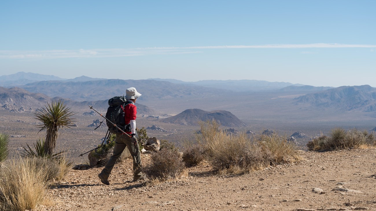 Photo: Alison Taggart-Barone / NPS · NPS image
05 · Boulder gardens and desert horizons
Mojave high desert, exposed summits, and ancient rock with almost no margin for heat mistakes.
OPEN REGIONAL HUB → Photo: Z3lvs · CC0 1.0
06 · Desert floor to subalpine summit
High forest, granite, winter snow, and sweeping Coachella Valley views above Palm Springs and Idyllwild.
OPEN REGIONAL HUB → Photo: Alan Vernon · CC BY 2.0
07 · California's open desert
Palm canyons, badlands, washes, and big quiet across more than 600,000 acres of desert parkland.
OPEN REGIONAL HUB →