Joshua Tree · High desert summit
Ryan Mountain Trail
A short but relentless desert climb to a 360-degree view across the Wonderland of Rocks, Queen Valley, and Southern California's highest peaks.
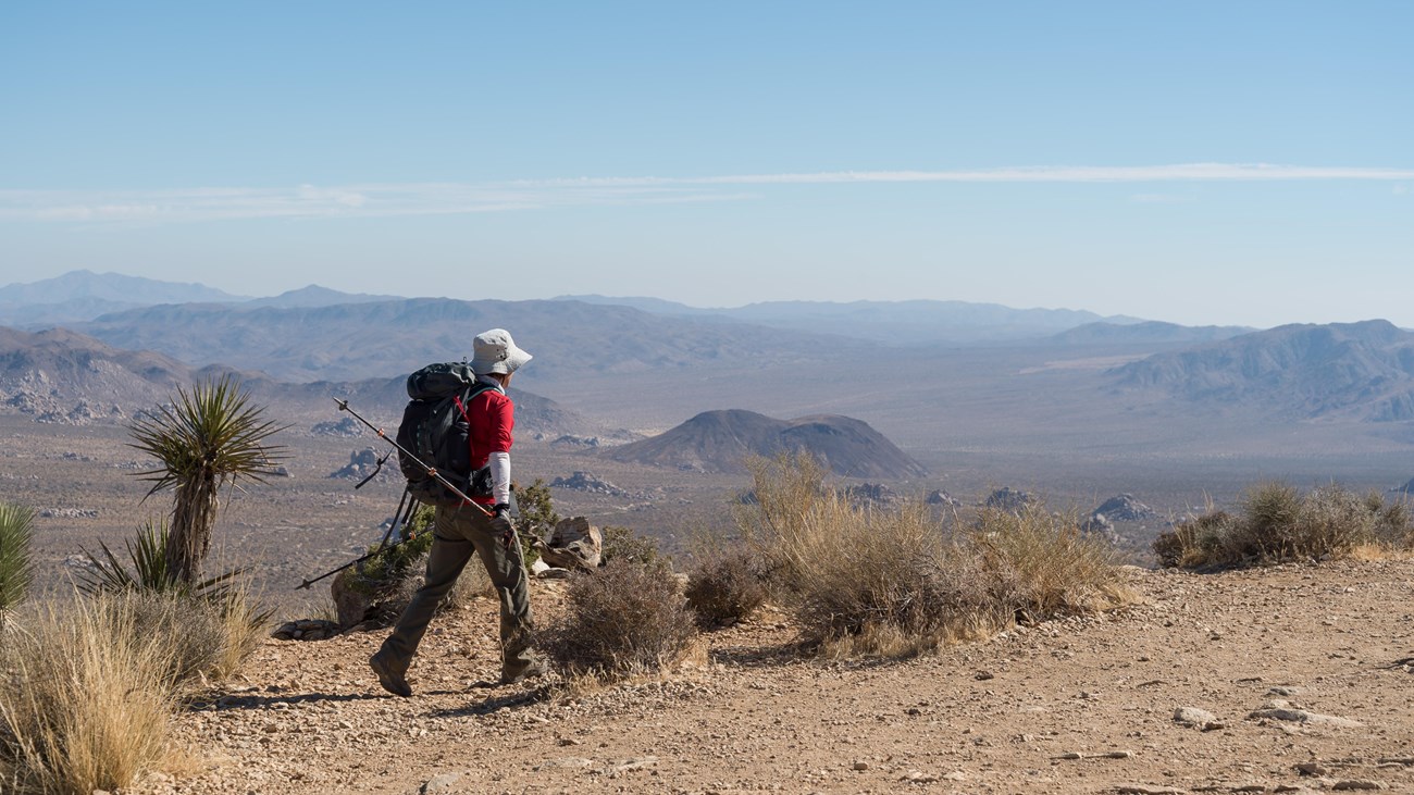 Photo: Alison Taggart-Barone / NPS · NPS image
CONDITIONS DESK
Read the sky.
Pack the water.
Use this as planning context, then open the live point forecast on the morning of your hike. Weather and natural water can change faster than a guide page.
WEATHER
What to watch
Use the point forecast for the mountain and review Joshua Tree alerts. Heat, wind, lightning, and rapid desert temperature changes matter more here than the short mileage suggests.
OPEN NWS POINT FORECAST ↗Ryan MountainCLIMATE
How the year behaves
High-desert air is dry, sun is intense, and day-to-night temperature swings are large. Winter can be cold and windy; summer heat makes the exposed climb unsuitable even when mornings seem manageable.
Best season: Fall, winter, and springWATER SOURCE
Carry all water
There is no water at the trailhead or anywhere on the route. Bring every drop you need before entering the park and keep an emergency reserve in the vehicle.
Carry all waterForecasts are informational. Check official closures, alerts, fire restrictions, and the managing agency before every trip.
Ryan Mountain packs a thousand vertical feet into only 1.5 miles. Stone steps and rough trail rise directly from Park Boulevard, trading shade for bigger views with nearly every turn.
ROUTE WALKTHROUGH
What the hike is like
- Start at the signed Ryan Mountain Trailhead between Ryan Campground and Sheep Pass Campground.
- Climb the maintained rock-and-dirt path as it bends around the mountain and enters more exposed terrain.
- The summit is the turnaround point. Descend slowly because the stone steps and loose surface are harder on tired legs.
BEFORE YOU DRIVE
Planning the day
- NPS rates the hike difficult and recommends two to three hours.
- The small trailhead lot fills on busy days; never create an off-road parking space.
- There is no water on the trail. Carry sun protection and warm layers because summit wind can be cold.
TURN-AROUND JUDGMENT
Safety that matters here
- NPS does not recommend this hike in summer or during very hot weather.
- The rough trail includes many steps and steep sections. Give descending hikers room on narrow stretches.
- Watch for lightning, high wind, and rapid temperature changes during desert storms.